University Taster
Geography – University Taster
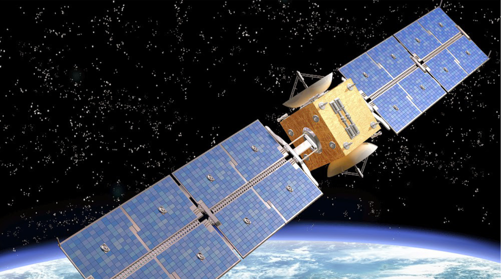
4.1 Monitoring Earth From Space
The advent of satellite technology has revolutionised our ability to observe and analyse Earth’s systems. By providing a unique vantage point from space, satellites enable scientists and policymakers to collect critical data for monitoring environmental changes, mapping landscapes, and managing natural disasters.
How Satellites Monitor Earth
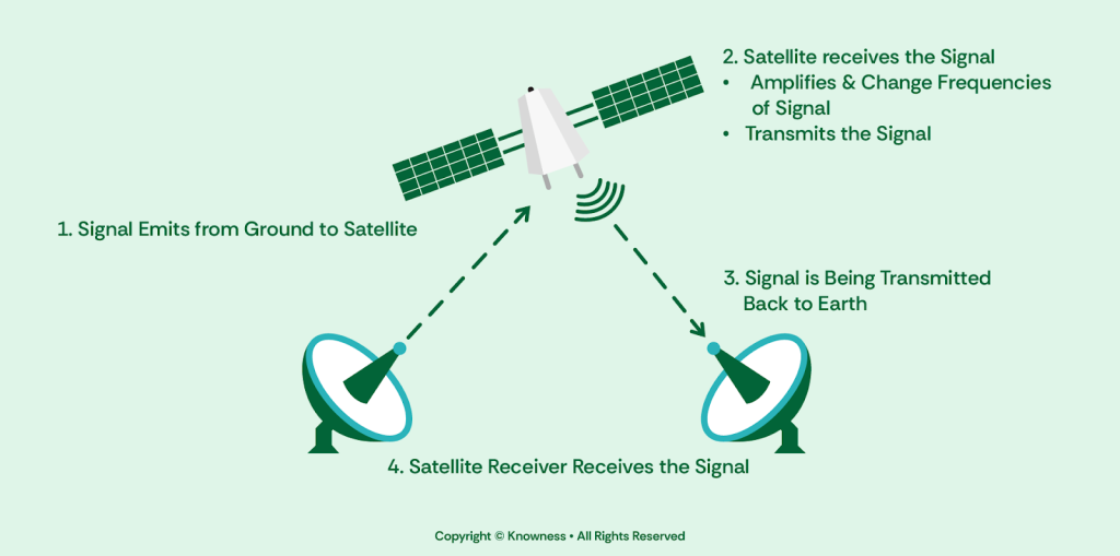
There are three main types of satellites listed below, these follow some key principles: Signals are sent from Earth to the satellite using high-frequency bands, which are then received, amplified and sent back to Earth. The ground station then receives the signal and decodes it, providing us with information.
Geostationary Satellites: Positioned in a fixed orbit approximately 35,786 kilometers above the equator, geostationary satellites provide continuous coverage of the same region. These satellites are critical for weather monitoring and telecommunications, offering real-time data on atmospheric conditions and storm development (Li, 2014).
Polar-Orbiting Satellites: These satellites orbit the Earth from pole to pole, capturing comprehensive global coverage over several days. Their close proximity to Earth (around 800 kilometers) enables high-resolution imageryLanguage appealing to the senses (sight, sound, smell, touch, taste)., essential for detailed environmental analysis (Kogan, 1995).
Earth Observation Satellites: Designed specifically for monitoring Earth's surface and atmosphere, Earth observation satellites use advanced sensors to collect data on landAll natural resources used in production, including soil, water, forests, minerals, oil, and other resources from nature. use, vegetation health, and atmospheric composition. Examples include the Sentinel and Landsat missions (Bensana et al, 1995).
Continue the lesson
This section is available to learners with course access. Continue learning with Knowness to unlock the full explanation, examples, revision tools, and progress tracking.
The remaining lesson content includes further guided explanation, important learning points, and supporting interactive material designed to help you understand and revise this topic.
Unlock this topic to view the full activity, worked examples, common mistakes, and additional revision support.
More content available
Knowness lessons are structured to build understanding step by step. Create an account or upgrade your access to continue from this point.
This preview does not include the hidden lesson text, answers, explanations, or embedded interactions.
Continue learning with Knowness
Sign up to access the full lesson, predicted grades, revision tools, progress tracking, and more.
Create a free account